Tuesday, December 31, 2019

All Over the Cove


Today I went out with a book by Frances Perry entitled “Homes of Cades Cove: Then and Now. Frances, was a kind man who tirelessly gave of himself in service to the Cades Cove Preservation Association. Frances Perry has since left this earthly plane but has left us some valuable information that will hopefully be used today and by future generations. When Frances first came to me about his desire to compile this collection, I thought it to be an enormous undertaking that would take him a few years to accomplish. This was shortly after my back surgery when I was fundraising to cover some of my medical expenses. I compiled some DVD’s that included all my waypoints from hiking the National Park. Frances graciously donated and used many of the waypoints and some of my pictures for his book. For that, he placed my name as a Co-author of the book. Other than this, the real work on this book was all Frances. He could have used the waypoints and pictures and cut time and energy; however, he wanted to hike to each of these home places sometimes accompanied by descendants and other members of the CCPA. This resulted in some revisions of my original findings along with the addition of places that I had found. Today, I discovered that a couple of the places I had previously seen; but, did not feel certain that they were home places were indeed home sites. Thus, the work Frances had done provided me confirmation along with the name of who had lived at the location. The amazing thing was that Frances did all this in about a year. His future hope had been to continue revision as new information came forth and perhaps add more to the databank. This book is available from CCPA with all proceeds going to fund their projects in the cove. Gratitude to Frances for his hard work and dedication.   
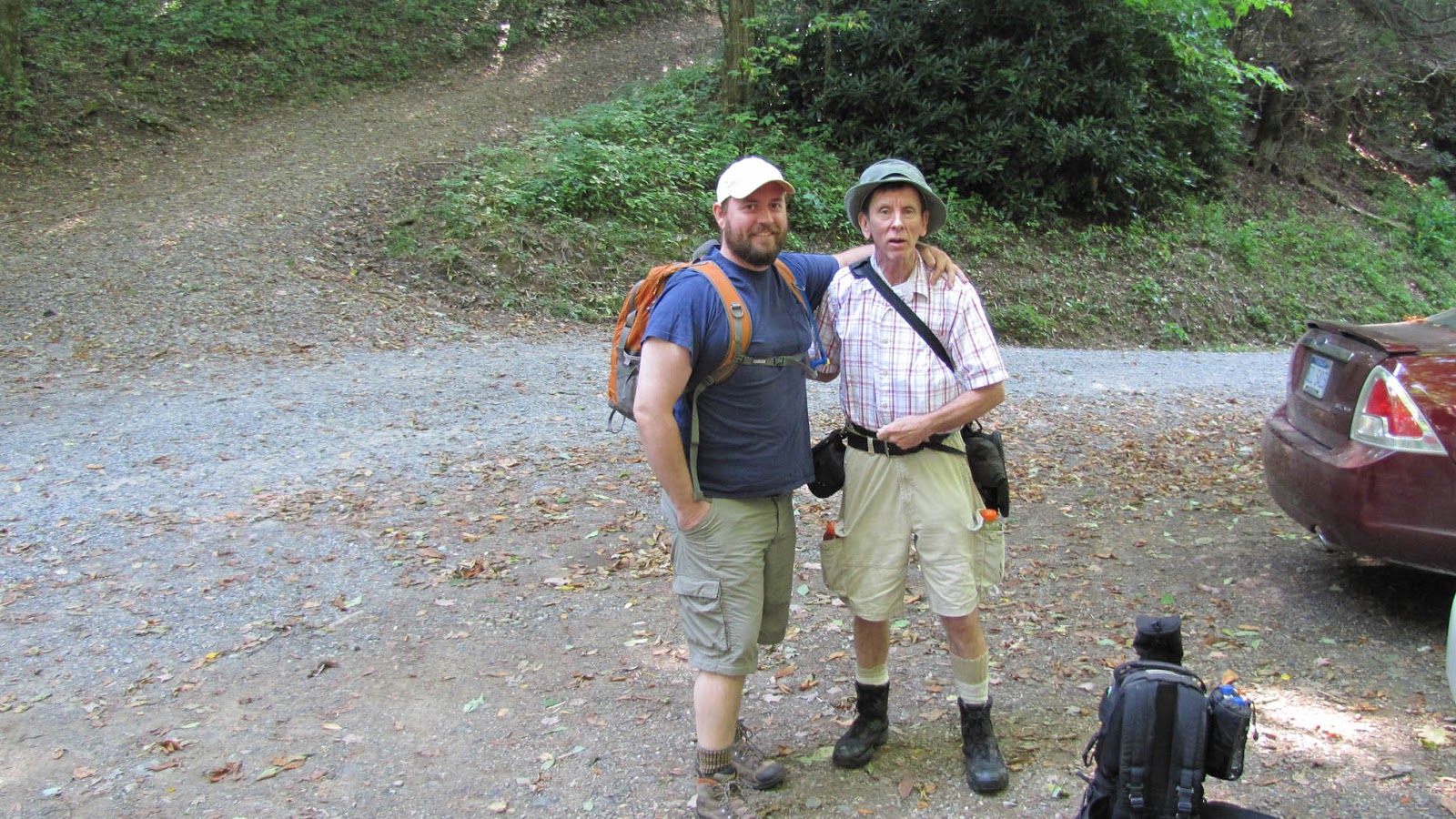
I hit the loop road at 9:40am on a beautiful Friday morning. I was meeting my Mississippi family, Shellie and Nathan Buford along with daughter Natalie at the Visitor Center around eleven so I had time to check out some home places just off the road along the way. The first home place from the book belonged to Albert Hill and is found across the road from the turn off to the Primitive Baptist Church.


I discovered that the home place was not directly across the road but about 100 yards before you reach the turnoff. The picture on my map shows the small remains of a possible chimney, but the most recognizable remains of this home place was where the cellar had been dug out.


The next one was off the beginning of Rich Mountain Road. The book shows pictures of a small cellar and a possible well that has been covered up by the Park Service. Perhaps due to leaf cover, I did not find what looked to be an obvious cover. The home place was said to belong to Jonathan Myers.


After a lot of walking, I finally stumbled upon some bricks which would be the only remains I would locate here.


I met up with the Buford Clan at the visitor center and we proceeded up Forge Creek Road with book in hand. Our first stop was at the Wade Myers home place which can be seen from the road. Amazing how easy it is to drive right by an old home place with an obvious chimney remains visible from a road. Yet, there are several all over the Park. It might be for the best as thievery and destruction of the Park seems to get worse each year. While folks like me and Mike Maples used to freely post blogs and maps to many of these home places, we both removed many of our blogs and opted for books instead. With less circulation and the books hopefully winding up in more responsible hands, perhaps these sites will receive less visitation and be preserved longer for future generations. Most of the places we visited today have very little remains; thus, not too concerned about visitation. Only lunatics like me search for rock pile chimneys and holes in the ground!


Down the road is where Carson Tipton lived and what Frances shows as the chimney piles are just that. In fact, I had seen them before, but really was not sure. The 1931 map shows a home place here, but other than a couple mounds, there is nothing left to find.


Next was another short trek that begins near the home place of Jurd Wilcox. A small pile of rocks is all that remains of this home place. We crossed the bridge over the creek and went up a steep back that heads up the creek to the Royal Tipton Home Place.


With unusually high temperatures for December, Nathan came across a resident likely confused about what time of year it was.


Were not for Frances’ picture in the book, this would have been an easy home place to miss. My good fortune was walking up to it with book in hand and seeing it almost exactly as pictured.


Next, we visited the Boring Cemetery with another home place that were not for the cellar would be easily missed.


Something on the other side of Parson Branch road that I had never seen before was this natural sink


No doubt a good place to wash the dishes!
On up the road to the cemetery is the cellar with chimney ruble above it.


The cemetery lies amidst a beautiful little moss-covered hilltop.


Like many cemeteries within the Park, this one tells a sad tale of a rugged life in these mountains.


At the end of Forge Creek Road is where the Gregory Ridge trail heads up for a long trek to Gregory’s Bald. But an obvious side trail will take you to another Park Cemetery.


Along the way, a marker for a Holly Tree is present. The Holly Tree no longer stands; however, there are some nearby just to daze and confuse you!


There is more mystery and confusion at the cemetery where a marker for Alyea and Alyea Post is found.


I was amazed at how grown up the area around the cemetery had gotten. You used to be able to walk around easily, but a large strand of pine trees covers much of the landscape near the cemetery.

We returned to the loop road where our final stop of the day was the George Caughron home place.


Remains of the original loop road are visible below the home place. Nathan opted to cut across and up to the road leaving old man Gourley huffing and puffing up behind the clan!


Laughing and waving from a half a mile away, Nathan looks back at the old man struggling to make it to the old road. I swear I heard Maples laughing in the wind as I caught up to the group!


Above the road we come to another one of Gourley’s holes in the ground!


No chimney remains but we found a few relics. A beer bottle that we dusted for fingerprints was identified as famous Cades Cove explorer David Ledbetter. Fortunately for Ledbetter, the statute of limitations made prosecution impossible and there wasn’t nothing Sheriff Buford could do about it! Still Sheriff Buford took 27 8x10 glossy photographs of the bottle with circles and arrows on the back explaining what each one stood for!


Nathan dropped off the top to a large tree that he tried to claim for the Queen of Mississippi (also known as the Mississippi Queen.) Gourley quickly moved in and reclaimed the tree for the Jedi of the Smokies, Mike Maples!


No one counter argued the claim


Nathan spent a few moments positioning his phone for this nice capture


We crossed back over the loop road and headed up Browns Hill


Browns Hill Cemetery is well known and documented although there are no actual grave markers present. I was told the area of the cemetery by a descendant and using dowsing rods and a map by Pete Prince found a possible location marked by quartz rocks.


Another hill that is being taken over by Pine saplings. The hill was once wide open and easy to navigate.


Another great day in the mountains with a wonderful family! Nathan risked his camera with one last picture featuring old man Gourley!


Thursday, June 13, 2019

3000 Miles and a Million Memories


It has been almost a month since the GoSmokies event, where we celebrated the life of dear friend Mike Maples, with a hike up the Old Settlers Trail to the Christopher Parton Cemetery. Unknown to me at the time was another event that I just recently realized. Many moons ago, I began a spreadsheet to track my hikes in Great Smoky Mountains National Park. My goal was to hike all the trails that made up the 800+ miles within the Park. It was a goal shared by many other hikers; however, at the time I was living in Ohio; thus, it was an even bigger challenge. By the time I moved to the land of Orange, I had hiked just over 580 miles of the 800+. Soon after moving to Tennessee, I discovered that there was much more to East Tennessee than just the National Park. I came across a website known as Tennessee Landforms where I found GPS waypoints to over 600 waterfalls in East Tennessee alone. I set  out to locate and hike to many of them which included a lot of off trail hikes. For the better part of 2009 and 2010, I visited many of these beautiful cataracts. Furthermore, I ventured into Western North Carolina and in 2010 traversed the Blue Ridge Parkway on two occasions. Paradise was all around me! In the fall of 2010, I set my sights on hiking to some of the off trail waterfalls within the National Park. I had also developed a keen interest in the parks cemeteries by this time. Like the waterfalls, I discovered that there were many cemeteries not found on most park maps and some that also required off trail hiking to reach. My concern at this point was where to park my car to access some of these destinations. I don’t remember the particular waterfall that I entered into the Google search engine, but I remember what appeared when I did. It was a blog by some fellow named Mike Maples! At the time, I did not try to follow his blogs, rather, utilized his descriptions of where to park in order to reach my destination. Still, I began to notice the rock wall foundations and home site remains along my way to those destinations on those early hikes. I also discovered GoSmokies where these blogs were located. I had questions. Oh Boy, did I have questions! So I joined GoSmokies in order to ask this Maples guy about a particular waterfall. He answered succinctly and without suspicion. Hmmm, maybe I could ask him some other stuff as well. After about three times emailing him through GoSmokies, he suggested we should get together for a hike. So I went to meet the man they called the “Jedi.” I would have him all to myself to pick his brain and learn more about this wonderful place we call the Smokies. Or at least that is what I thought until he told me that we were meeting this Ben Bacot guy. I did not like him already! I did not want to share my new found source of everything Smokies with some other guy. No, I wanted him to myself! It did not take long for me to see the error of my thinking and I soon was hiking with two men that I would come to know and love like brothers.


It was early 2011 and the beginning of one of the best years of hiking in my entire life! Meeting these guys only fueled my desire to leave the beaten path and discover as much as I could about my Garden of Eden. Furthermore, I began to realize just how much I had been missing by simply completing trails. Side trails leading to cemeteries had been skipped. Home places only a few yards off the trail missed and many other things not beheld because my mission was to complete a trail. Don’t misunderstand me as knocking any 900 miler. It is a worthwhile goal and an awesome task. Anyone who has completed it should be proud of the accomplishment. My biggest mistake was in not completing the longest and hardest trails early on. By the time that I had moved to Tennessee, age was catching up to me. I either had to hurry up and accomplish the task or change my focus. I decided that I wanted to focus more on the off trail destinations. Thus, in the ten years that I have been in Tennessee I have only added about 60 miles of new trails to that list. To date, I have hiked 642 miles of the 800+. Still, not bad for a guy from Ohio! I kept doing my list to see how close I would actually get, but to also track the off trail miles. I had to make an educated guess on some, but with better GPS systems I soon was using my track profiles that have been in many of my own blogs. Of course, I have duplicated many miles on the park trails, but to date have hiked 1262 miles off trail in the Smokies. The accomplishment that I was unaware of that came to fruition at the recent GoSmokies event; was that I crossed over the 3000 mile threshold for overall miles hiked in Great Smoky Mountains National Park! The last time that I had looked at my list, I remember thinking that I would love to share the moment with good friends. Well, I suppose that I did; however, it was unknowingly. And that is the real purpose of this blog, to share and say thanks to all those who have shared the mountains with me over the years. Most of us met through GoSmokies and for that I am eternally grateful.


With every GoSmokies event, it seemed like more friends were made. And just like I contacted Mike Maples, many folks have contacted me throughout the years.


And of course, every time that I hiked with Mike Maples it seemed I was meeting new friends. Some have become much more than just friends. People I love like Marlene and George Denton.


The GoSmokies events were a great time to place faces with names. And sometimes they were a reunion of those near and dear to my heart.


About a year after meeting Maples, I had the good fortune of meeting and hiking with David Ledbetter and his family.


The senior Ledbetter, I soon came to see as being the Jedi of Cades Cove. Through him, I was taken too many places not found on any of the many Cades Cove home site maps.


In fact, the two Mountain Jedi’s came to meet at one of the GoSmokies events.


And through my association with the Ledbetter clan, I did my one and only hike with the well known Dwight McCarter.


Speaking of “one and only hikes;” another meeting of the Mountain Jedi’s was a hike in 2011 with Maples and Jenny Bennett.


It was a great day in the Horseshoe with Jenny, Mike and Ben. Jenny was kind enough to take a pic of me and brother Ben by the Jeter Whaley Chimney.


 The GoSmokies site continued to be a breeding ground for Mountain Jedi’s and soon another Mike entered the picture.


Turn around and say “Hello” Mr. Poppen! This was one of many times we would find MP scanning creeks for debris. Maples dubbed Poppen the “Creek Walker.”


Of course, the GoSmokies events were not the only times that various groups formed for off trail excursions. Soon we were joined by Curtis Travis who had a passion for Chimney measurements!


Big or small, we traveled near and far to explore up creeks and old forgotten pathways.


I can’t believe that I never got a picture of myself, Maples and Poppen; however I did get one of myself, Bacot and Poppen!


As if all these folks were not enough, into my life came yet another off trail lunatic – David Sands. I shall never forget our memorable day hiking to Mount Mingus and beyond!


I have often used the phrase, “Let them not be forgotten;” which has been one of my motivations for writing about the places that I have visited. Many people sacrificed their homes so that we could enjoy this sacred land for generations. Time and nature are slowly making these places vanish. Keeping them a secret only serves to make them vanish even quicker. I see the National Park much different today than I did on my first visit in 1996. I can not look up a creek without pondering those who once called it home. Everywhere I travel within the park there are some remnants of past history whether it be those that settled and farmed the land or the Lumber Companies that set up camps to harvest timber. Good or bad, these mountains hold many stories of a people who survived off the land. Future generations may never know these stories if they are kept secret. Thus, it is an honor to pass any knowledge along to those who will carry the torch into the future. Just this week, I had the pleasure of taking my friends Blake and Kathy back to the old Cadillac off the Middle Prong trail. It was great to share some of the history of this area with them. It really changes your perspective when you think about the railroad that traversed the road into the forest, the many lumber camps, and how the land had once all belonged to Will Walker. While we did not hike up to the CCC camp, I told them about it and the waterfall nearby. According to the “Hiking Trails of the Smokies,” the Cadillac, presumable early 1920’s, belonged to one of the supervisors. One day it stopped running and Camp personnel pushed it off to the side. I have always felt that the best way to get people interested is to take them out and show them the wonders of nature. Seeing these artifacts seems to make the stories come to life. Great to share this with my young friends!


In the last ten years of hiking, I have had the good fortune of visiting almost 1000 home places within the National Park. Also, more than 200 cemeteries and grave sites. Almost 100 waterfalls and several other places of interest all within the Park boundaries. Add to that, hundreds of other waterfalls, cemeteries and places of interest in East Tennessee and Western North Carolina. I am so happy and honored to have shared many of them with such wonderful people. A few years ago I came to realize just how many of these people had become far more than just hiking buddies. We had become family. When I hurt my back and had to have surgery, the outpouring of help, prayers and good deeds were overwhelming. This bearded fellow is not only a lean mean hiking machine, but he also mows a mean lawn!


But seriously, I could post a hundred pictures and probably not get everyone that has shared a trail with me over the last ten years. My back has slowed me down and my knees are getting weak so I don’t know if I will reach 4000 miles in the Smokies. But as long as one foot moves in front of the other, I will keep on trekking on!